STAALION — Space Threats Analysis based on Automated reaL-time In-situ capabilities and Onboard processing decentralized Network — is an innovative project funded by the European Defence Fund (EDF) in 2023.

The core of the project is the development of a multi-sensor platform, with innovative sensors features, performing data integration and data fusion (sensor fusion) interfaced with a central system (ground station) and guided by artificial intelligence that significantly improve mission planning and mission management.
In particular, UniCA– DIEE is responsible for the development of an innovative passive microwave sensor (Radiometer) and the implementation of Deep Learning image classification algorithms on board of each UAV, to perform local, autonomous, image processing operations, removing the need for intense data communication with the central ground station.
Nurjana Technologies is in charge of the study and development of an autonomous guidance and navigation system for the swarm of UAV, based on Reinforced Learning technique. The autonomous agent is trained using both real and simulated scenarios and is able to learn an optimal strategy based on received and sensed inputs, providing a dynamic response and adaptivity to the mission in real time.
The main expected result is the development of a technology demonstrator which prove the possibility to develop and intelligent autonomous navigation agent for swarms of UAV, and to integrate innovative sensing features and low-power on-board data processing that cooperate in real-time.


More than 5,000 launches since the start of the space age, each carrying satellites for Earth observation, or communications, for example, have resulted in space becoming increasingly congested.
This is why the problem of space debris is becoming increasingly urgent: in addition to hazardous space environment, large objects, such as dismissed satellites, rocket parts, etc., can re-enter the Earth’s atmosphere in an uncontrolled way, creating risks to the safety of people and things on Earth.
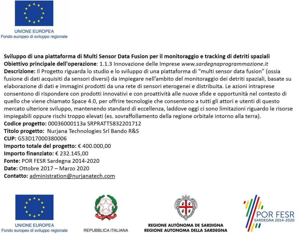
NT R&D activities focus on the study and development of a “multi sensor data fusion” platform (ie merging data acquired from different sensors) to be used in the field of space debris monitoring, based on processing of data and images produced by a heterogeneous and distributed sensor network such as:
Optical Systems operating in both the visual and InfraRed spectrum
Radar systems at different frequencies
The “Sensor Data Fusion” process consists of merging data from multiple sensors and implementing an Expert Decision System. The system has the function of filtering and correlating large amounts of data, to improve the overall performance of the monitoring system and to give to the user useful information for the management of one or more space missions, in relation to the dangers arising from space debris.
Within the project, Nurjana is responsible for the development of 3DVEC.
3DVEC is an immersive collaborative 3D virtual environment specifically designed to optimize satellite configuration tasks during crucial development phases by leveraging advanced virtual reality devices. This innovative tool effectively integrates geometric data with real-time engineering information, thereby enhancing decision-making processes. By simplifying workflows, it minimizes the potential for errors and omissions in critical outcomes. Utilizing cutting-edge technology, 3DVEC ensures maximum user engagement and immersion throughout the satellite assembly and integration processes.
Furthermore, the platform is equipped with powerful capabilities for remote maintenance support and training, enabling seamless multi-user collaboration across diverse operational scenarios. This holistic approach aims to transform traditional methods, making satellite development more efficient and collaborative. Through these advancements, 3DVEC is positioned to play a pivotal role in modernizing satellite engineering practices.

The aim of MOSE is to exploit new information technologies to support the management of interventions in situations of immediate danger or impact to environment or human welfare, such as in the dramatic Coronavirus emergency, but also to effectively manage the phases of prevention.
The MOSE project involves the development of an innovative software solution based on the most advanced clustering technologies for the optimization of distribution and flow of the tools for the management of emergency situations taking into account the probability of risk (fires, pandemics, delinquency, accidents, etc.) associated with a specific highly critical area (red areas).
Based on the processing of satellite data and forecast models, in the COVID19 emergency context, MOSE will allow to:
Improve the management of the territory and the available protection and rescue tools with a particular focus to the containment of the virus infection for the safety and health of citizens.
Reduce the intervention times of the various entities involved during an emergency COVID outbreak (eg ambulances, law enforcement, civil protection, etc.).
Reduce the number of exposed persons, carry out control of the gates, optimize the transport of patients, medical equipment, reports, biological samples and health care equipment.
Reduce direct and indirect social and environmental costs.
The advanced technology of MOSE will concretely support the work of the personnel involved (augmented intelligence) during the delicate control and safety phases of emergency events.


Via M.Betti 27/29, 09067, Elmas (CA), Sardinia, Italy
| Cookie | Duration | Description |
|---|---|---|
| cookielawinfo-checkbox-analytics | 11 months | This cookie is set by GDPR Cookie Consent plugin. The cookie is used to store the user consent for the cookies in the category "Analytics". |
| cookielawinfo-checkbox-functional | 11 months | The cookie is set by GDPR cookie consent to record the user consent for the cookies in the category "Functional". |
| cookielawinfo-checkbox-necessary | 11 months | This cookie is set by GDPR Cookie Consent plugin. The cookies is used to store the user consent for the cookies in the category "Necessary". |
| cookielawinfo-checkbox-others | 11 months | This cookie is set by GDPR Cookie Consent plugin. The cookie is used to store the user consent for the cookies in the category "Other. |
| cookielawinfo-checkbox-performance | 11 months | This cookie is set by GDPR Cookie Consent plugin. The cookie is used to store the user consent for the cookies in the category "Performance". |
| viewed_cookie_policy | 11 months | The cookie is set by the GDPR Cookie Consent plugin and is used to store whether or not user has consented to the use of cookies. It does not store any personal data. |